The 5-Minute Neighborhood, 15-Minute City, and 20-Minute Suburb
The above diagrams explaining the 15-minute city underscore the role of mobility options in enabling access to destinations and determining appropriate scales of development.
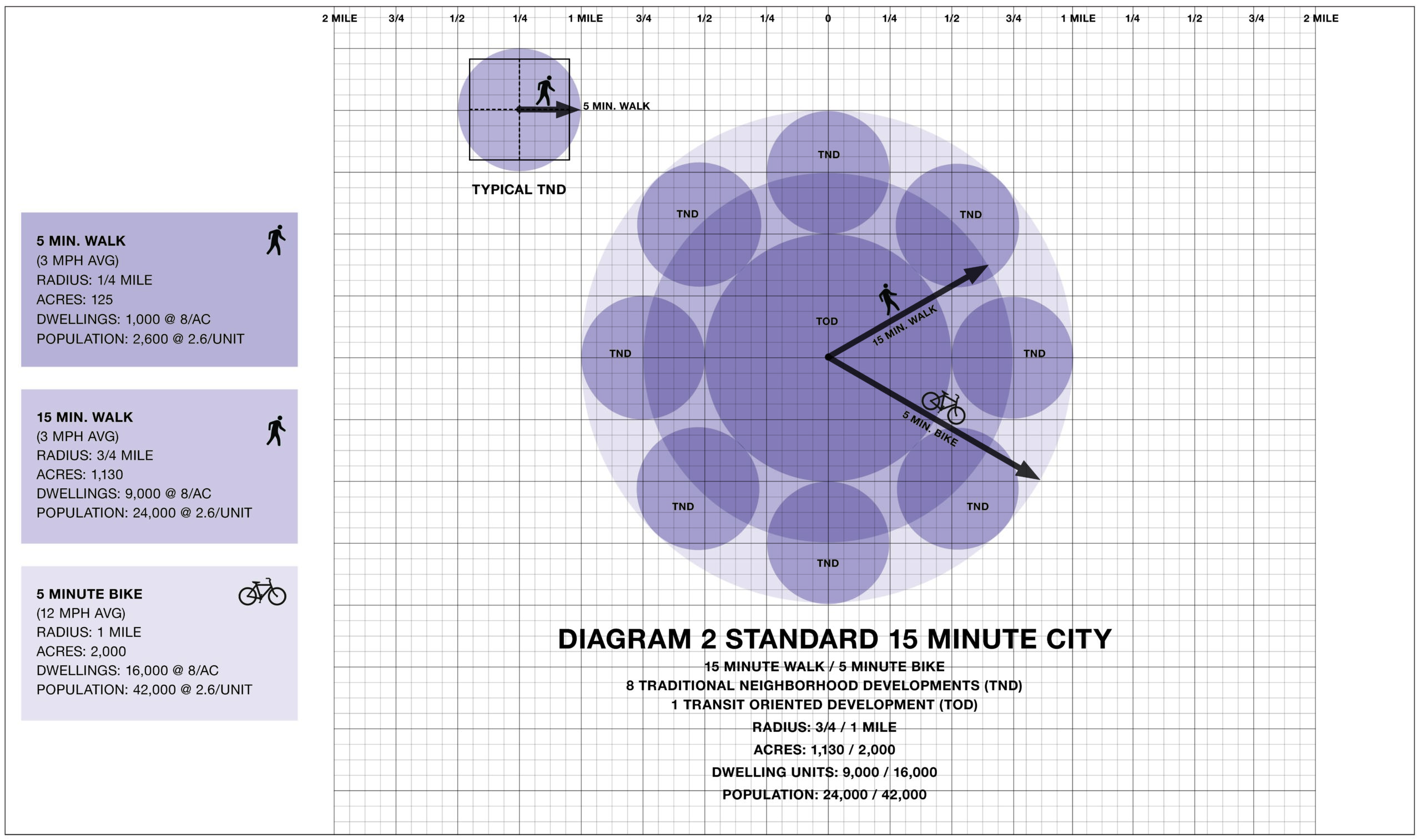
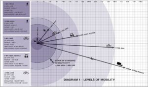
That measurement of time in which someone is more likely to walk or bike rather than drive a car to an errand has been the subject of much discussion among urbanists. Thirty years ago the New Urbanism first proposed a neighborhood of a quarter-mile radius. The five-minute walk “pedestrian shed” became the basis for an alternative to suburban sprawl by proposing a walkable scale (120-160 acres) for building or rebuilding community and a sense of place. More recently the “15-minute city” has been receiving much attention and it has given the concept of sustainable community design renewed vigor. It reinforces the importance of improved access within existing urbanism. DPZ has participated in the discussion, identifying the need to define the mode of mobility; fifteen minutes by car will take you to a destination five or more miles away; a 15-minute walk will cover ¾ of a mile – still a reasonable walk to a school, train station, or even shopping.
At either the 5 or 15 minute scale, the guiding principle of a walkable, diverse urban environment, remains a guidepost for amenable, sustainable, and resilient communities. The pandemic experience showed us that walkable proximity is more desirable than ever. As stay-at-home work became increasingly common the surrounding context took on a new importance. In walkable neighborhoods, retail thrived. The walking and biking that prevailed during the lockdown boosted outdoor activity and a sense of community by being on foot.
But what about the still-sprawling suburbs? Should their residents be excluded from the enjoyment and advantages of walking to destinations? Recently, the reality of suburban distances to retail and community amenities has inspired a new term: the “20-minute suburb”. The concept is an evolution of the 15-minute city, focusing on transportation reform, zoning reform, and strategic residential and commercial densification. DPZ’s “sprawl repair” projects acknowledge that the single-family residence, so prevalent in the built environment, and so important to American society, can be maintained and refocused by mixed-use, walkable redevelopment of commercial sites.
Retrofit/Infill of CSD (TNDs and TODs)
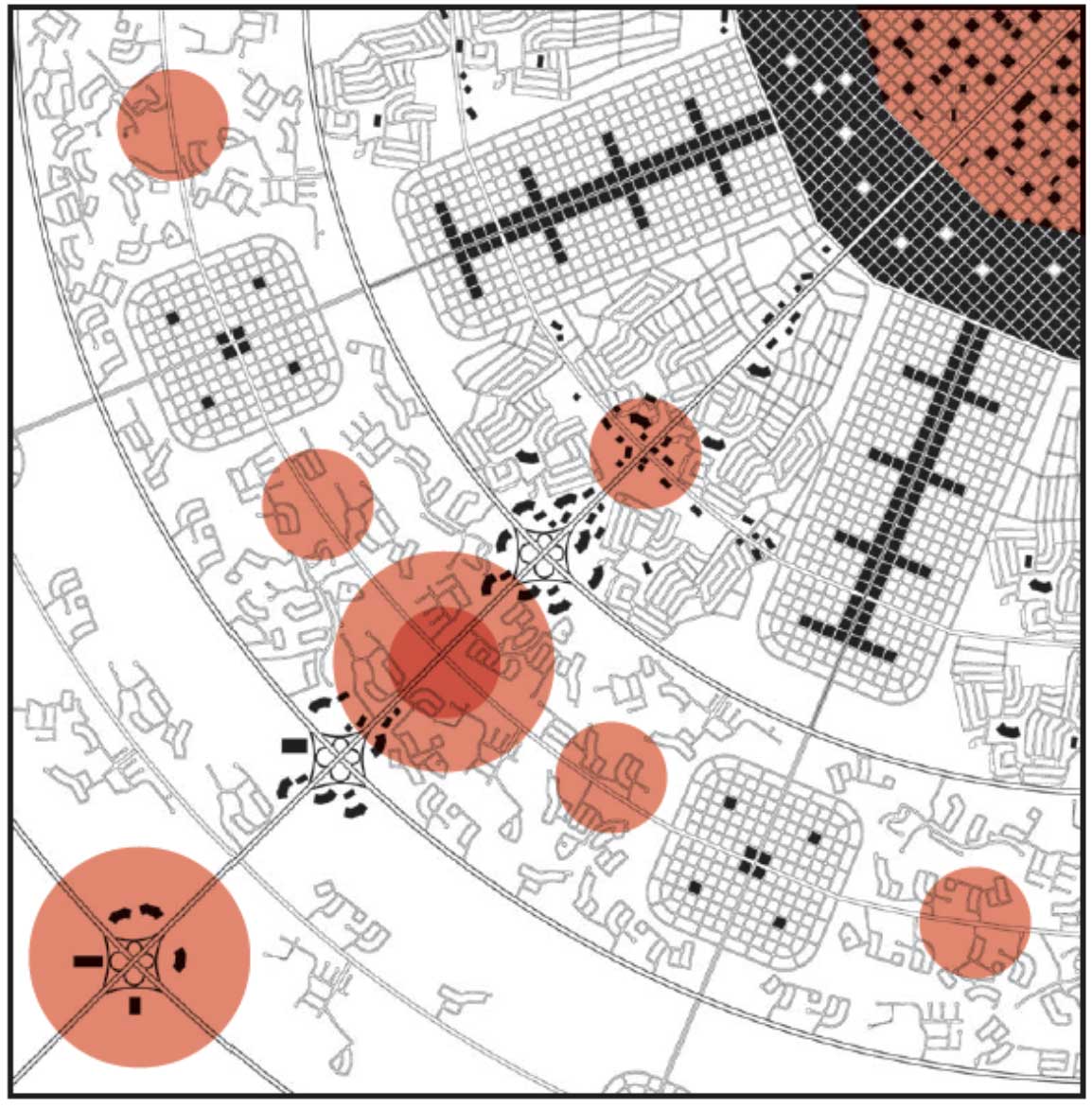
This illustration from the Sprawl Repair Manual illustrates how the regional patterns of urban infill and suburban expansion follow the evolution of transportation networks.
For many suburban communities reliant on automobiles, it will take time to accept a shift toward the possibility of walking, biking, and public transit, and to the advantages of some changes to the built reality. Transportation reform in particular remains a continuing challenge. Public transit is a key element: its efficiency requires focused destinations and supportive residential density, as well as an emphasis on all modes of mobility, with complete streets, last mile freebees, bike lanes and paths, and pedestrian passages.
Many suburban malls, office parks, and strip centers are coming to the end of their investment life and are being re-imagined as mixed-use nodes for surrounding communities. However, where ambitious retrofits are not likely in the short term much can be done with small scale infill and strategic improvements to enhance the pedestrian’s experience. Envisioning more direct pedestrian paths to destinations can encourage walking, as can adding sidewalks to streets that have none, trees to shade the walk or the bike ride, and crosswalks for pedestrian safety. Other improvements such as making new pedestrian paths through subdivision cul-de-sacs, may require a property purchase; and making the trajectory as convenient as possible may require opening a pedestrian passage from one walled community to another.
DPZ is dedicated to designing beautiful and diverse environments that support pedestrian-friendly community life. Bringing to suburban locations a new walkable mixed-use focus for existing residents is an important component of our work.
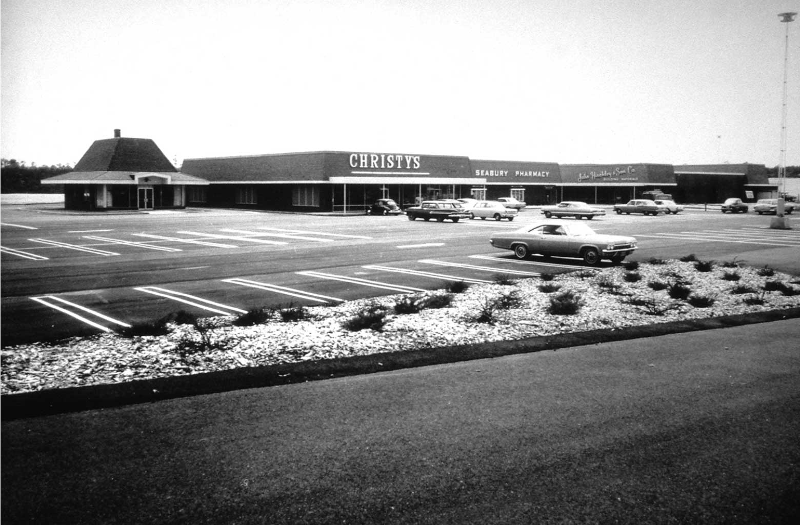
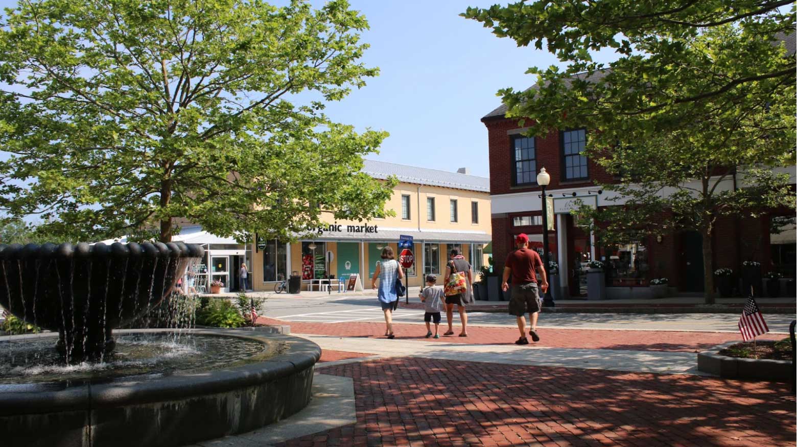
Mashpee Commons Before: A mid-20th century shopping center with an expansive parking lot that prioritized automobile mobility and access.